Rotherhithe Mapping
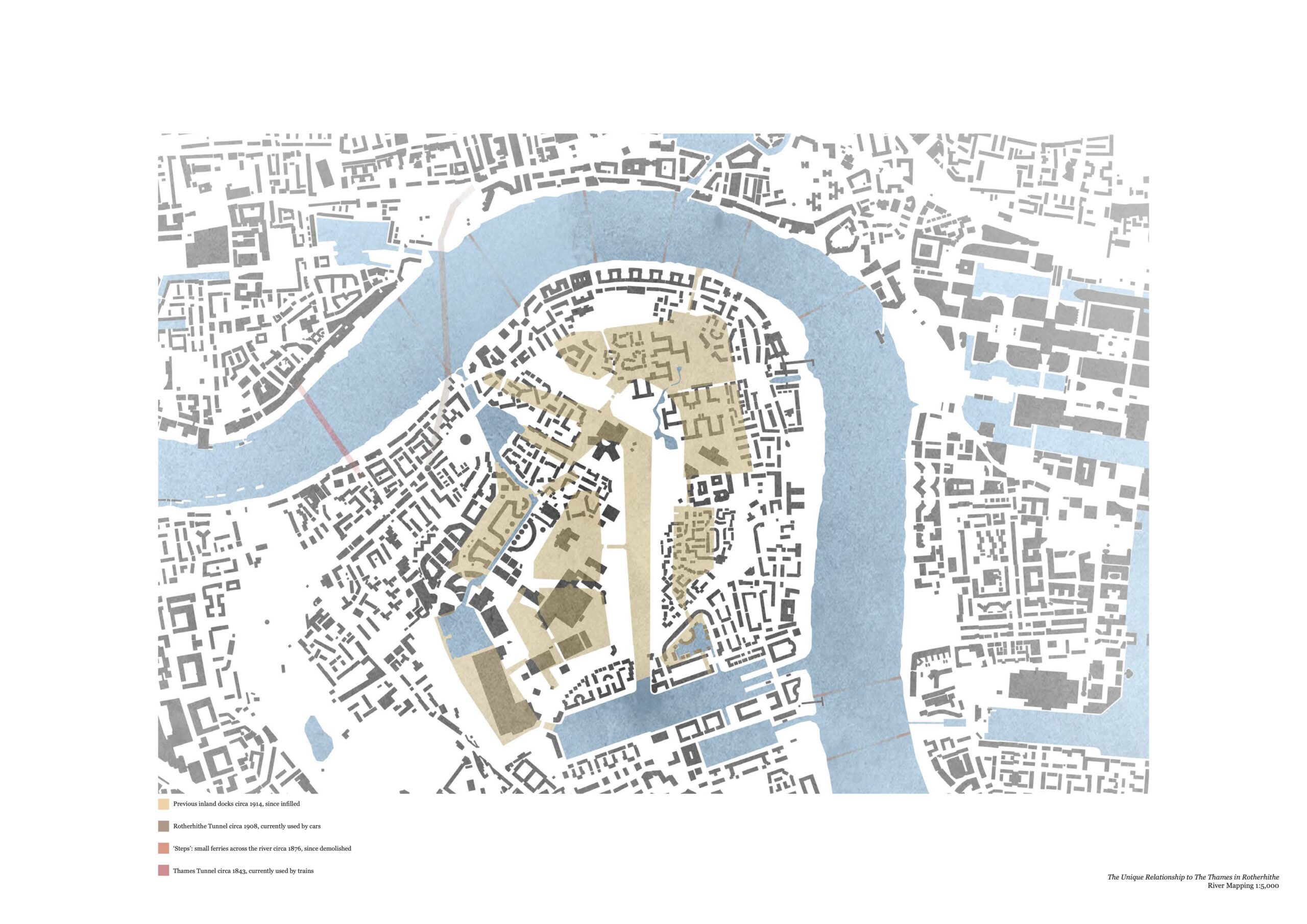
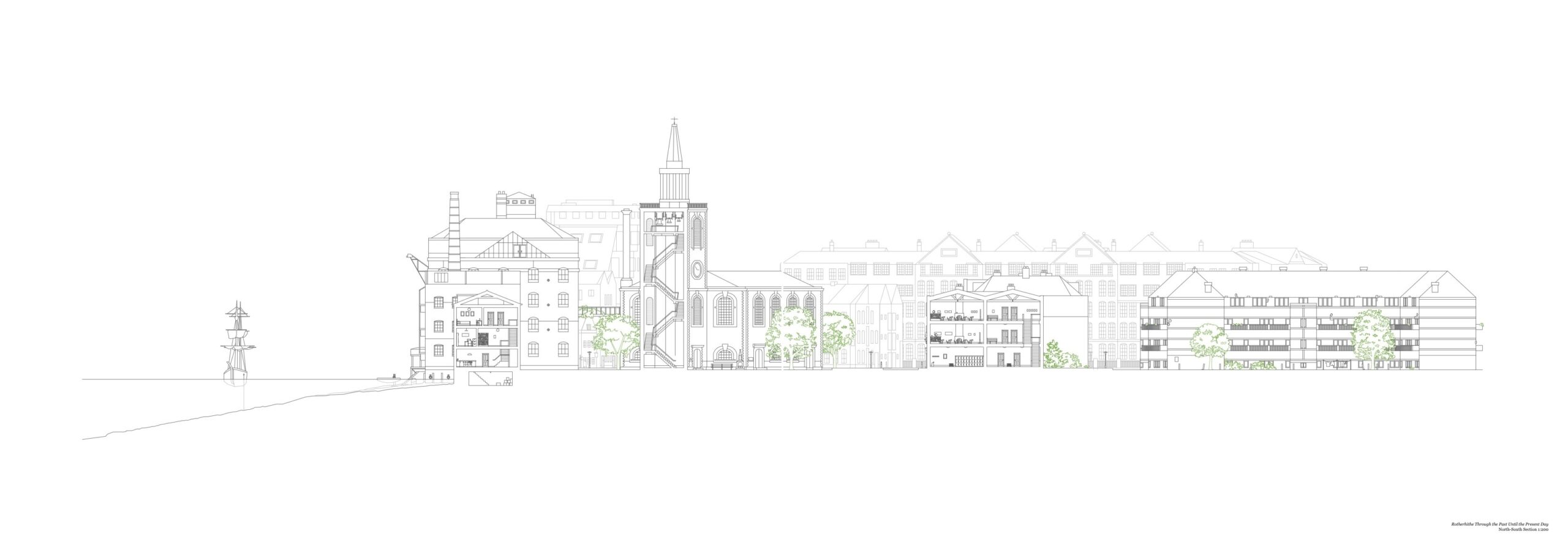
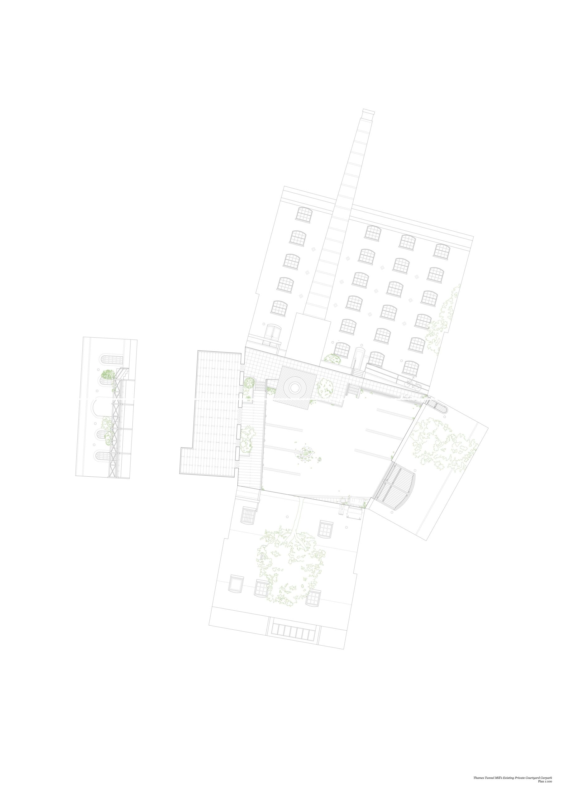
Rotherhithe sits on the South-Eastern bank of the River Thames, historically a key trading point as it was considered outside the city of the London, and pre-Thames Barrier it was able to accept deep-keel ships and house extensive cargos in it’s inland docks.
It suffered significant bombing during WWII, but some significant buildings remain today, including the Mayflower pub, theatre costume makers with originally recycled ship-timber ceiling joists, and Marc Brunel’s tunnel under the river. A key part of the timber trade, this community supported numerous churches including Finnish, Norwegian, German and Swedish, which still support a strong European community to this day.
The Rotherhithe Tunnel and resulting busy road cut the high-street in two, whilst following the adoption of larger international shipping enabled by standard shipping container, the inland docks were infilled and build-over with concrete social housing blocks.
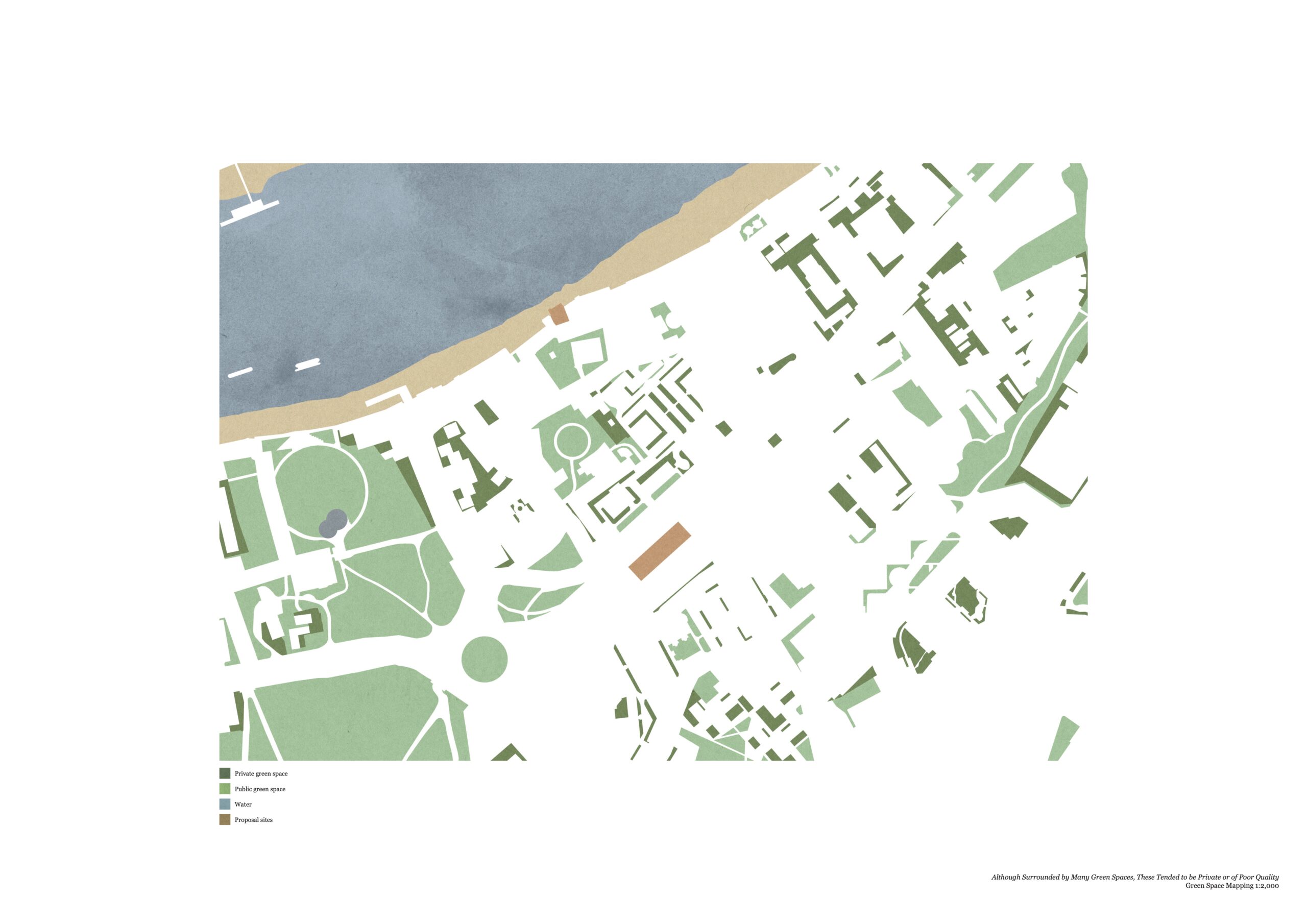
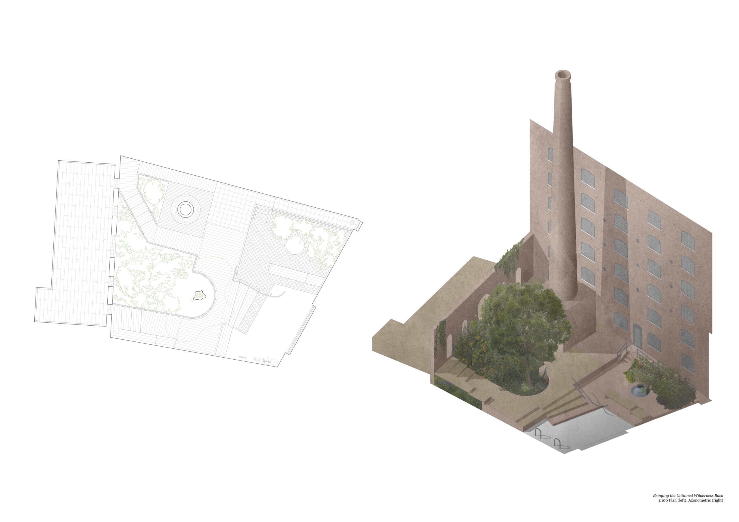
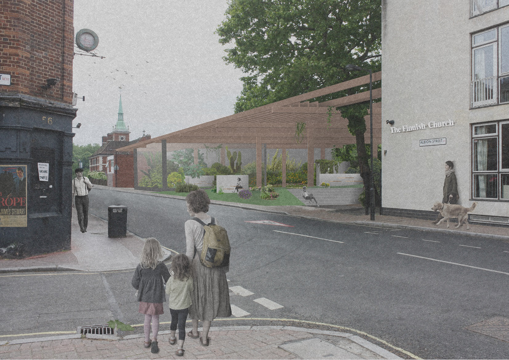
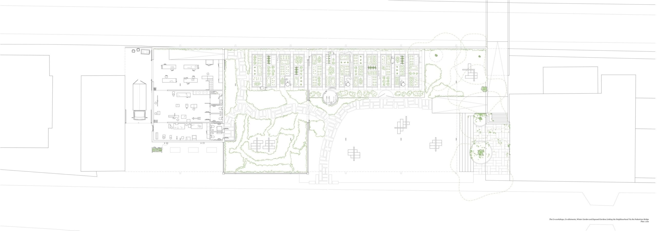
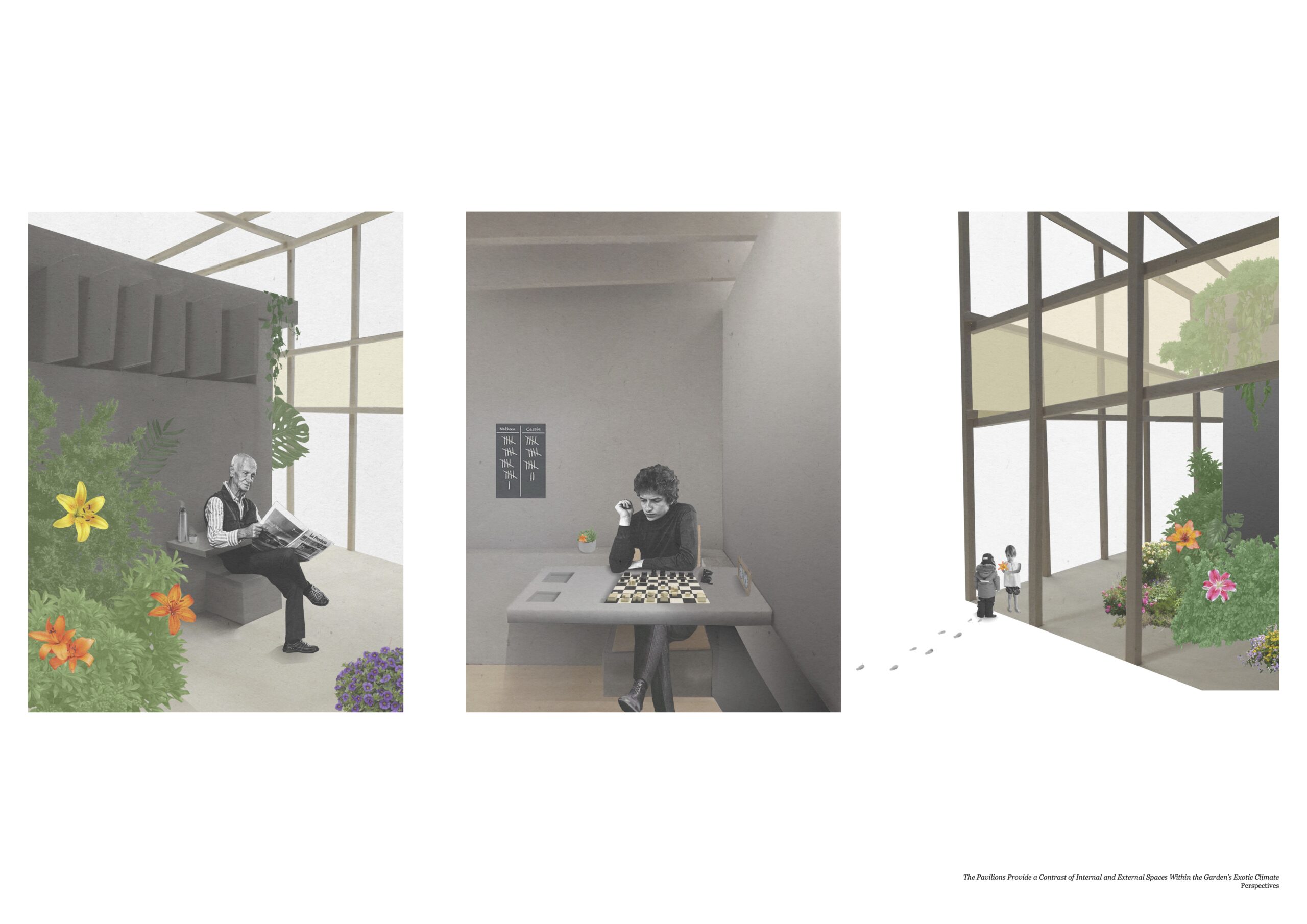
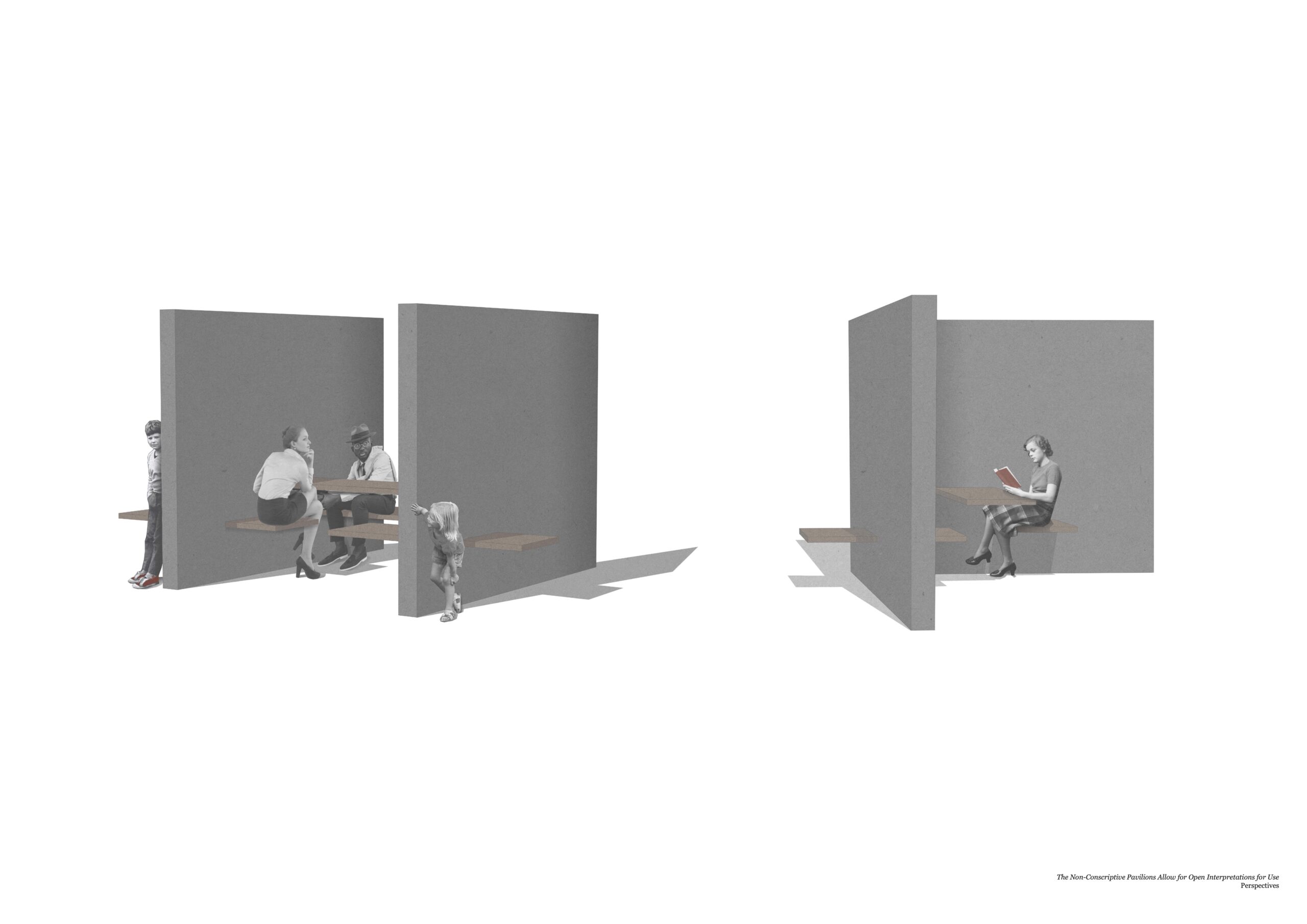
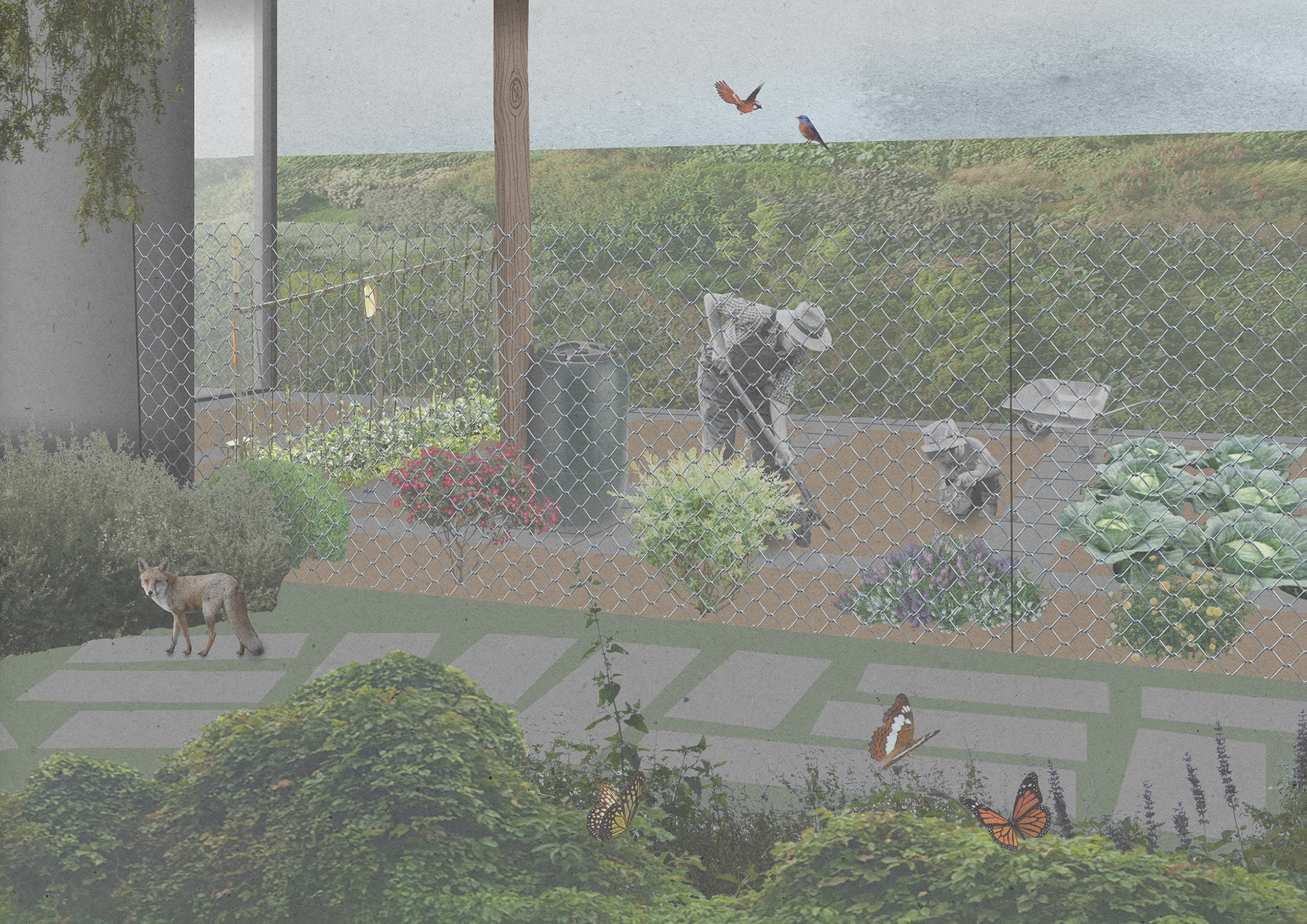
Our research in the history and current experience of residents in the area let to a proposal for a large public garden space in the (then vacant) plot between the Finnish and Norwegian churches as an alternative to a proposed retail and housing addition. The proposal was kept low to ensure the churches retained their full stature, whilst the green space allowed an opportunity for existing local communities to mix in new ways through shared allotments and cooking events.
The proposal also included an accessible pedestrian bridge over the busy neighbouring road, allowing easier access to existing businesses on both sides of the tunnel divide.

